The Relevance & Limitations of FTG in NSG
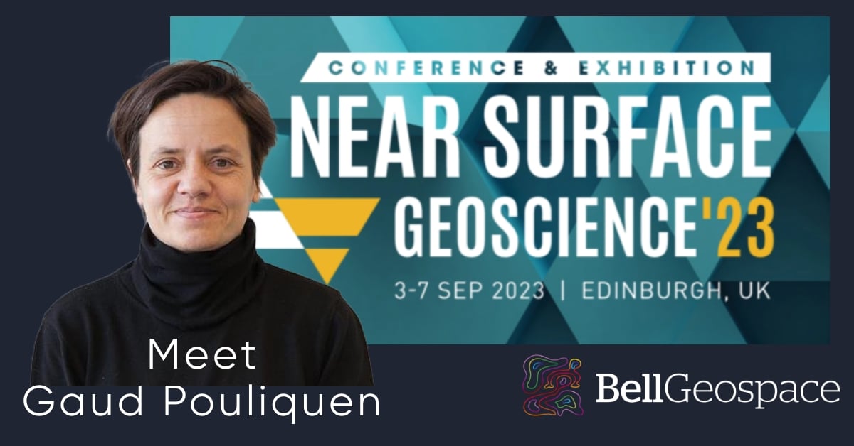
As Gaud Pouliquen prepares for the upcoming EAGE Near Surface Geoscience conference in our hometown of Edinburgh next week, we believe it's an opportune moment to share a brief blog post highlighting the areas of Near Surface Geophysics (NSG) that are and are not directly applicable to the work we do at Bell Geospace.

Julianne Sharples
Near-surface geophysics constitutes the specialised branch of geophysics primarily concerned with the exploration of the Earth's subsurface within relatively shallow depths, typically spanning from the surface to depths of a few hundred meters beneath the Earth's crust. This discipline harnesses a wide array of geophysical methodologies and techniques to investigate a diverse range of geological, environmental, and engineering facets associated with the subsurface layers adjacent to the Earth's exterior.
Below, we will explore key components and applications of near-surface geophysics where Bell Geospace FTG data can be strategically employed.
1. Geological Investigations: Near-surface geophysics is used to study the geological structure and composition of the Earth's crust in shallow depths. It can help identify and map geological features such as faults, fractures, sedimentary layers, and bedrock. FTG can provide high-resolution data for near-surface geophysical investigations. It is capable of detecting minute density variations in the subsurface, making it well-suited for mapping shallow geological features and structures. Near-surface geological features often involve subtle changes in density, such as faults, fractures, and variations in rock types. FTG is sensitive to these density changes, allowing for detailed imaging and characterisation of these features.
2. Improved Structural Mapping: FTG can help in the precise mapping of geological structures near the surface, including fault systems, folds, and stratigraphic boundaries.
3. Mineral Exploration: In mineral exploration, geophysical methods are employed to locate and characterize mineral deposits near the surface. Techniques like electrical resistivity, magnetic surveys, and induced polarisation can be used to detect ore bodies and associated mineralisation. FTG maps geology it aids in identifying potential targets for further exploration and can be valuable for mapping mineralised zones, alteration halos, and structural controls.
4. Shallow Hazard Assessment: FTG is adept at detecting underground voids, which can be indicative of potential hazards like sinkholes or karsts. Identifying the presence and size and shape of voids is essential for hazard mitigation.
In certain domains of Near Surface Geophysics, other technologies may be better suited than FTG. These are outlined below.
1. Civil Engineering: Engineers use near-surface geophysics to evaluate the subsurface conditions for construction projects. This includes assessing soil properties, identifying potential hazards like sinkholes, and determining the depth to bedrock. Usually a civil engineering project is too small to make an FTG survey viable.
2. Archaeological Investigations: Archaeologists employ geophysical methods to locate buried archaeological features, such as ancient structures, artifacts, and burial sites, without the need for extensive excavation. Typically, Archaeological Investigation projects are of a scale that renders an FTG survey economically impractical, however we have picked up some interesting sites as a byproduct of other larger studies around the world!
3. Hydrogeology: Near-surface geophysics helps hydrogeologists understand the distribution and movement of groundwater in the subsurface. This information is essential for managing water resources and addressing water supply and contamination issues. FTG has found applications in various aspects of hydrogeology, from groundwater exploration and aquifer characterization to environmental monitoring and sinkhole detection however it is not a common-use of the technology.
4. Infrastructure and Utilities: Near-surface geophysics is used to locate underground utilities like pipes, cables, and conduits, as well as assess the condition of infrastructure like bridges and tunnels. This is not an area that we explore with FTG technolgoy.
5. Remote Sensing: Remote sensing techniques like ground-penetrating radar (GPR) and electromagnetic surveys are common tools in near-surface geophysics, allowing researchers to study subsurface features remotely. The choice betweeen FTG and other remote sensing methods depends on project-specific requirements, budget constraints, and the depth and nature of the subsurface features you aim to investigate. An impartial assessment of these methods will help you select the most appropriate tool for your remote sensing needs.
Determining the appropriateness of Full Tensor Gravity Gradiometry (FTG) for a project involves a comprehensive assessment of several key factors. Firstly, it is good to establish clear project objectives to understand the specific goals and the type of geophysical data needed. Consider the depth requirements - FTG excels in shallow to intermediate depths, typically up to a 4 KM underground. Evaluating the geological context of your project area is crucial; FTG is particularly valuable in complex geological settings where it can detect subtle density variations and structural features.
Budget constraints play a pivotal role; FTG surveys can have higher upfront costs compared to some other Near Surface methods, so our clients will always weigh the potential benefits against the budget available. Additionally, take environmental and community considerations into account - FTG is non-invasive, making it suitable for environmentally sensitive or highly populated areas. If time is of the essence, FTG's ability to provide rapid data acquisition can be an advantage. Engaging with geophysical experts or consultants can offer valuable insights, and conducting a feasibility study may help validate FTG's applicability. Finally, compare FTG with alternative geophysical methods and ensure regulatory compliance with local permits and approvals. Through this holistic assessment, you can make an informed decision regarding the suitability of FTG for your project, taking into account its strengths and limitations in your specific context.
Are you attending the EAGE Near Surface Geoscience Conference & Exhibition 2023 Edinburgh, 3-7 September 2023?
Arrange to meet with Gaud Pouliquen to discuss FTG application in more detail.
Receive Bell Geospace Articles To Your Inbox
Would you like to receive the next installment directly to your email?

 -
-