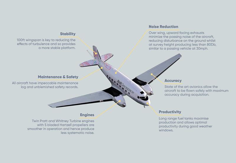
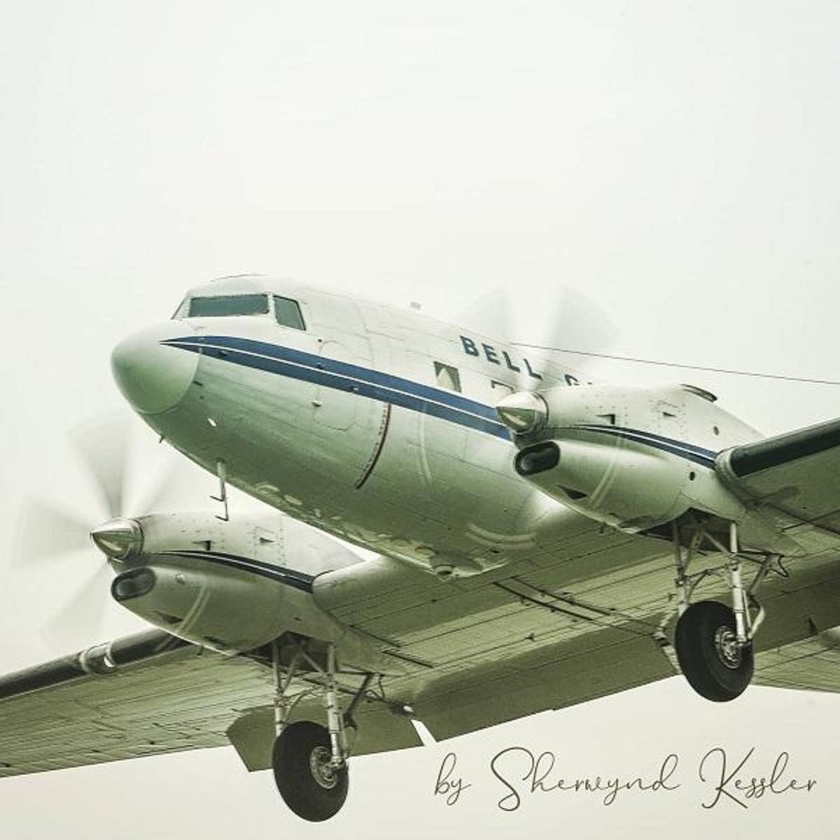
Bell Geo's aircraft for gravity gradiometry surveying

Bell Geospace required a plane that had; two engines for added safety, low sensitivity to turbulence for improved data quality, a strong track record of reliability and good endurance for increased international reach. The Basler BT-67 easily met these requirements and then some!

Slide across this image of The BT-67 to view the features inside and out

Stability
The Lidar Altm3100a

Standard flying practice

Our standard practice is to fly at 80m over open areas where it is safe to do so, and 300m over protected or built-up areas.

The aircraft is capable of acquiring 1,600 line kilometres a day and has achieved more than 1,200 km a day on many occasions. The limiting factor on acquisition endurance is turbulant air at low altitudes caused by midday heat. Compared to other platforms the BT-67 handles turbulence very well, this reduces overall survey acquisition time.

As survey flights are conducted at low-level, there are two pilots and one survey technician. The equipment is sensitive to turbulence and surveys are, depending on weather conditions, generally flown in the calm of the early morning or the late afternoon, amounting to 4-8 hours per day.

Bell Geospace Standard Flying Practice

A free feasibility test to explore your options

Find out if a Bell Geo survey is right for your project. Predict the usefulness of FTG / Mag data. Receive inferred results, pricing and time frames.

Explore your options