
LiDAR
LiDAR on the Basler BT-67
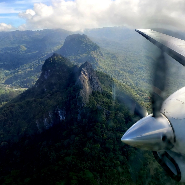
Airborne minerals surveys with tight line spacing, particularly in dense forest and rugged or mountainous terrain can require a high-resolution digital terrain model (DTM) to perform an optimised terrain correction.
To meet with the market demands, Bell Geospace has recently invested in upgrading the Lidar available on the Basler BT-67.
The RIEGL VUX-240 is a lightweight airborne laser scanner. It has a wide field view of 75 degrees and a fast data acquisition rate of up to 1.8 MHz. The VUX-240 makes use of RIEGL’s unique waveform-LIDAR technology, allowing echo digitization and online waveform processing. Multi-target resolution is the basis for penetrating even dense foliage.
Does my survey need LiDAR?
Including LiDAR data with a Full Tensor Gravity Gradiometry (FTG) survey can provide a more complete picture of the subsurface and surface features of an area, but it's not always necessary. The decision to include or not include LiDAR data should be based on the goals of the survey, the complexity of the survey area, and the cost and feasibility of acquiring LiDAR data.
Here are some cases when it's beneficial to include LiDAR data with an FTG survey
1. When the survey area includes both surface and subsurface features that need to be mapped. LiDAR can provide a detailed 3D map of the surface topography, while FTG can provide accurate measurements of subsurface rock density variations.
2. When the area is covered by vegetation, buildings, or other man-made structures, LiDAR can be used to map the surface features, allowing for a more accurate interpretation of the FTG data.
3. When the topography is complex and rugged, LiDAR can provide a detailed map of the surface topography, which can be used to correct for the effects of topography on the FTG measurements.
Here are some cases when it may not be necessary to include LiDAR data with an FTG survey
1. When the survey area is relatively flat and the FTG survey is focused on detecting subsurface features that are not affected by topography, such as large-scale geological systems.
2. When the cost of acquiring LiDAR data is prohibitive or the survey area is too large, it may not be practical to include LiDAR data with an FTG survey.
3. When the primary goal of the survey is to detect subsurface features that are not affected by topography or vegetation cover, LiDAR data may not be needed.
To find out if LiDAR is neccessary on your project, fill in our feasibility form or speak to one of our experts.