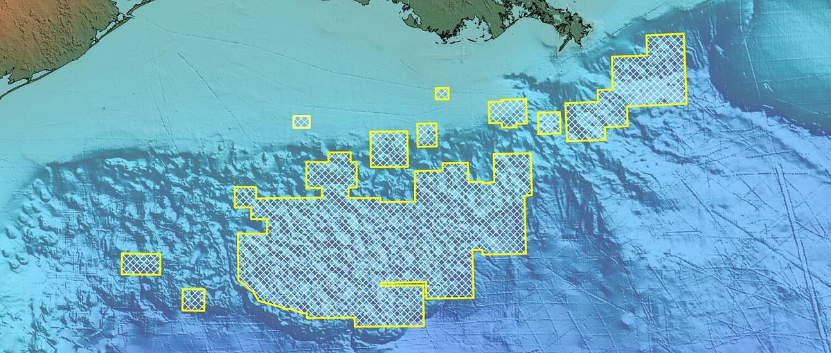
Re-processed Gulf of Mexico marine FTG data
67,000 square kilometers of re-processed Full Tensor Gravity Gradiometry (FTG) data, useful for imaging salt structure in hydrocarbon exploration
The Gulf of Mexico FTG Multi-Client Program includes marine 3D Full Tensor Gradiometry data that has been acquired over the Gulf of Mexico, covering 67,014 sq kms. This data is most commonly used to image salt structure in hydrocarbon exploration.
The images displayed in this article are courtesy of Flat Irons Geophysics.
Exploring in salt
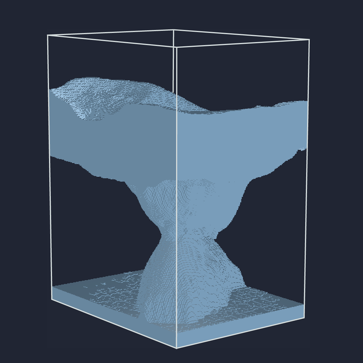
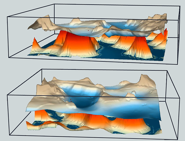
Methods for imaging the shape of salt bodies using seismic data are available but are often expensive and time consuming, requiring a new velocity model at each iteration. Fortunately, there is a relatively strong density contrast between salt and background density structure making it an ideal environment for potential fields data to be able to play a vital role. Our interpreters have been able to ascertain immensely valuable geological insights from the acquired data and operators have benefited from the comparatively minimal costs involved in data purchase.
Full Tensor Gradiometry provides the edge
Via Bell Geospace technology, 5 independent tensors yield shape information defining the Top, Flanks, areas of overhang and base of the salt bodies in the Gulf of Mexico. With FTG data, it’s possible to create a three dimensional salt model in just a few weeks. The model allows you to capture both the top autochthonous and base allochthonous salt. Multiple scenarios can be run and legacy seismic can constrain the models and find the shoulder or flank of the salt instead of risking drilling into deep salt on the back of poor seismic reflectors. Understanding the extremities of the salt using FTG is fast, inexpensive, and easy.
The survey
Survey size - 67,014 sq km
Total number of line kms - 148,648
Line Spacing - Variable - 250 to 2000m
Re-Processed in 2020
The Gulf of Mexico FTG data was re-processed in 2020 providing a significant uplift in quality.