
De-risk Karsts with Permian Basin FTG Data
Airborne Full Tensor Gradiometry (FTG) and Magnetics HD survey in the Delaware Basin is largely used for mapping drilling hazards in the shallow section
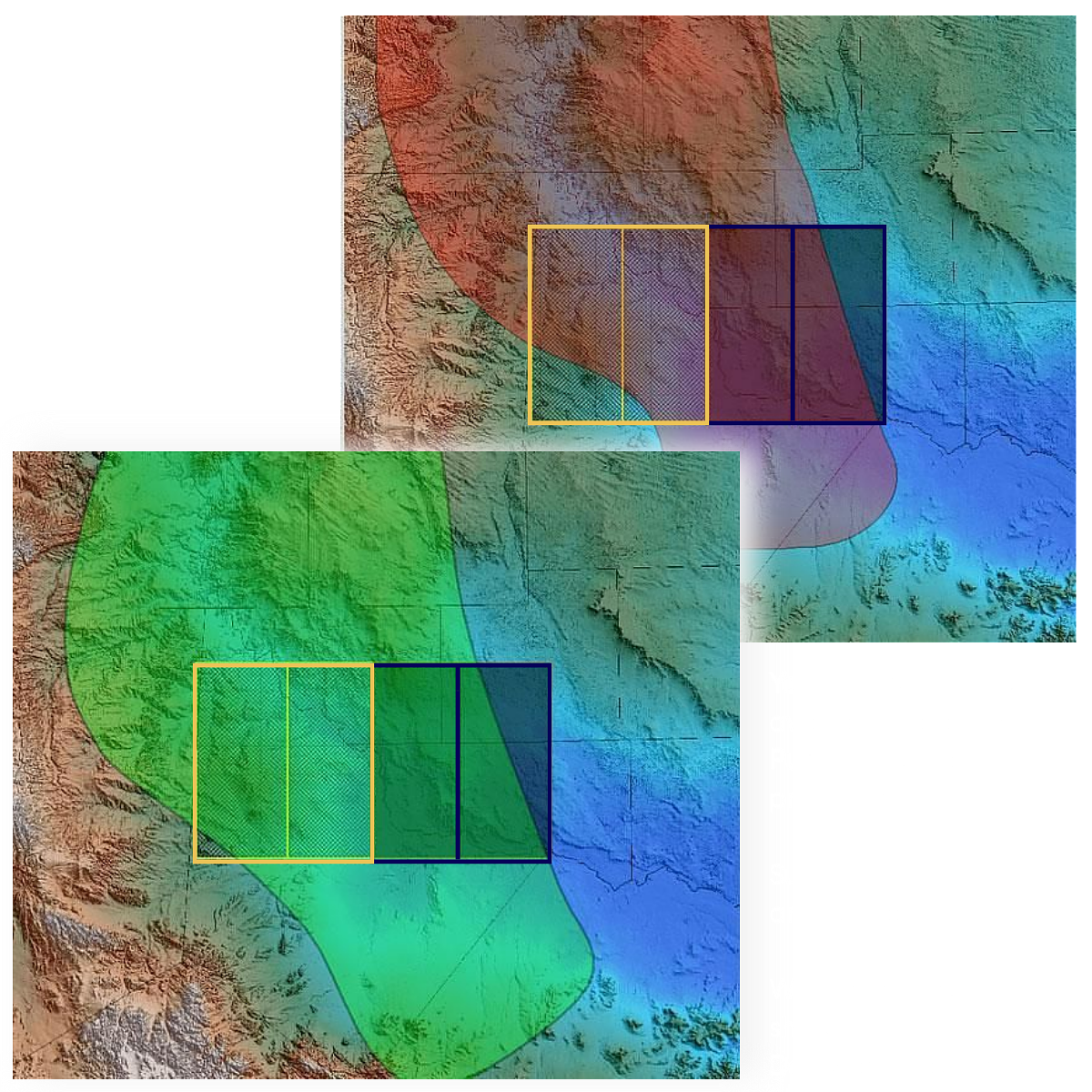
An unprecedented level of resolution was achieved in this 100m spaced survey over 1000 square miles in West Texas. Operators had experienced multiple causes of hazards in the shallow section and were unable to quantify risk. It was suggested that an FTG survey might provide valuable insight and information. The suggestion was correct.
Once the data had been collected, cutting edge interpretation consultants produced a shallow hazards risk map that achieved 87% accuracy in some areas and has been the subject of several industry papers and talks by operators and drillers.
Operators in the Permian can make use of this high definition data to accurately image shallow velocity variations and significantly de-risk operations. If you have a team in-house, processed data can be purchased, or it can be offered as a service via Bell Geospace and partners. Potential future studies could also investigate the correlation between fault maps from FTG and magnetics with induced seismicity.
To discover the recommended data requirements for your acreage please get in touch.
Related Papers
Shallow Velocity Modeling - This paper presents a multi-physics approach that does not suffer from velocity-depth ambiguity and provides a robust shallow velocity model - First Break 2021
Managing Drilling Losses in the Permian Using Airborne Gravity Full Tensor Gradiometry - SPE 2019