FTG directly measures all components of the gravity field. The measured data are a series of independent components defining a tensor field.
Txx, Tyy and Txy measure the rate of change of the gravity field in the horizontal components, whereas Txz and Tyz measure the horizontal rate of change of the downward pull in the horizontal components.
When combined, Txx and Tyy provide a unique measurement of the rate of change in gravity in the downward component—Tzz.
The individual component information is directly suited for mapping complex geometries on targeted geology that generate a density contrast with host geology.
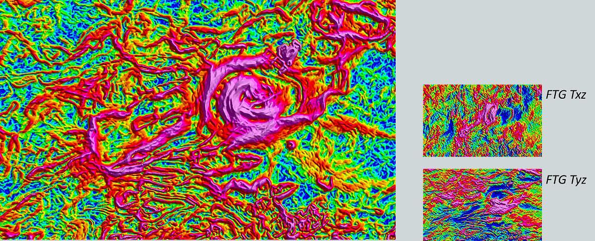
When combined, the directly measured Txz and Tyz components produce the total horizontal gradient (THG) and directly maps geological contact information defining the structural and stratigraphic setting of the target.
Combining Txx, Txy and Tyy yields a measure of the total horizontal curvature (THC) and captures curvature evident in geological structures, such as that sourced by rounded basins, the tops of fault blocks, ridges, the tops of salt bodies, ore bodies and carbonates.
The vertical gradient, Tzz, complements the THG by mapping vertical contacts evident on edges of density contrasts. Together, Tzz and THG facilitate mapping of complex fault zones.
All tensor component data are a measurement of the gravity potential, that when collectively combined accurately depict a gravity anomaly field. The resultant gravity field offers high resolution and accurate capturing of a signal bandwidth that is not possible with conventional gravity surveying methods.
The components
The three primary elements of the full tensor are:
- The vertical component: Tzz
- The total horizontal curvature (THC): TxyTxxTyy
- The total horizontal gradient (THG): TxzTyz
These are produced from the directly measured tensor components.
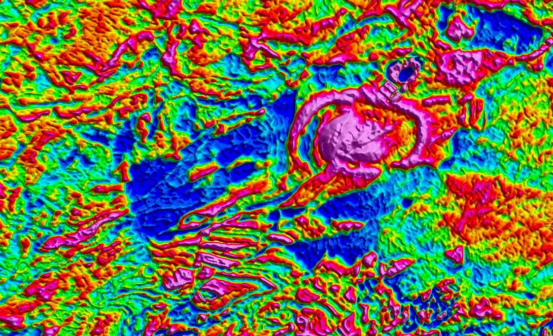
Tzz is the vertical gradient and equates to the vertical derivative normally computed from gravity. However, here it is the measured entity, thus retaining high frequency content that is ordinarily lost when processing conventional gravity data.
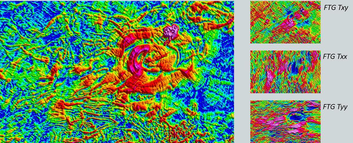
THC maps the curvature of the field and directly images geological structures exhibiting curvature. It does not discriminate structure type, it just locates curved structures.
THG maps the horizontal gradient. Maxima anomalous responses accurately locate contact edges of target geology.